-
Geography
Executive Curriculum Summary GeographyAt Gorsefield we have intentionally taken our Geography curriculum further than the National Curriculum Programme of Study to inspire and challenge our children to take their place as world citizens, developing curiosity and fascination about the world and its people. in an ever-changing planet. Our entire Learning Without Limits curriculum is bespoke, written, planned and sequenced by leaders and teachers to fit the needs of all our children. It is inclusive by design.
Our children build their understanding of Geography through four disciplinary concepts: spatial significance, patterns and trends, environment and sustainability, and interconnections. These are clearly identified across the curriculum and in lessons using distinctive dual coding icons.
Our Geography curriculum equips children with geographical skills alongside knowledge. It is knowledge rich with clearly identified knowledge notes planned for every unit and lesson from Nursery – Year 6 to allow children to build schemata and build on prior learning. Our curriculum is vocabulary rich with a subject glossary of tier 3 subject specific vocabulary planned to support teachers and children communicate accurately as geographers. Links to the text spine in English are intentionally planned to create a text rich curriculum supporting children to develop understanding of locations and cultures.
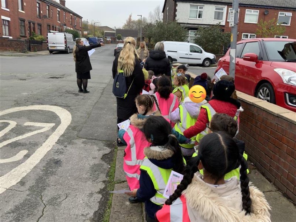
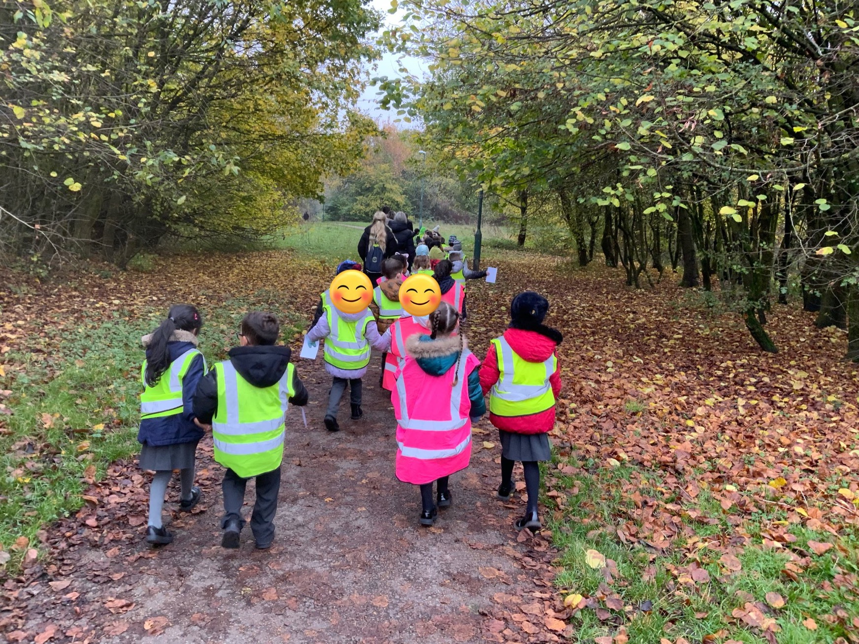
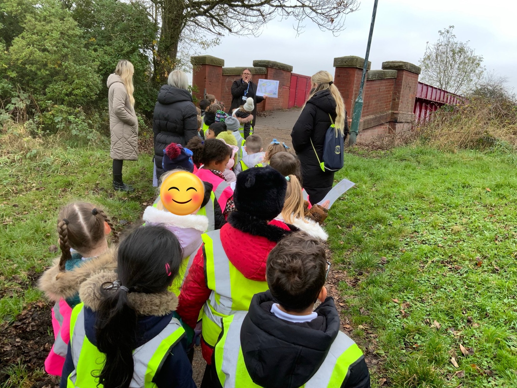
Locational studies start with our homes in Nursery and Reception, places our youngest learners are most familiar with. This moves to our hometown of Radcliffe, which features throughout Key Stages 1 and 2. This is then contrasted with other localities both in the UK and further afield throughout Key Stage 2 to develop children’s growing knowledge of the World. Our curriculum is experience rich with planned opportunities for fieldwork and enrichment visits linked to Geography learning for every year group.
Our children develop geographical skills such as collecting and analysing data, using maps of different scales, globes, aerial photographs and digital mapping to name and identify countries, continents and oceans, as well as communicating information in a variety of ways and creating their own maps.
Geography is intentionally taught alongside History, so our children build deeper understanding of the “where and when” of events, developments and locations looking at interconnections and patterns and trends over time.
Through coherent sequencing and being specific about what our children need to know, our LWL curriculum in Geography supports children to know more and remember more and make progress to identified end points.
Geography Dual Coding Disciplinary Concepts
Dual coding is using different types of stimuli to help learners encode information in their brains more effectively, enabling it to be more easily retrieved later on. In the classroom, the main two types of stimuli that are used are visual and verbal.
Visual information is directly encoded into our working memory, which is the part of our short-term memory that temporarily manages and stores information, and it processes in a synchronous way. This means that we can retrieve the information regardless of the order we saw it in.
At Gorsefield, we dual code the disciplinary concepts to support the children's retrieval of these.
Spatial Significance
Place, space and scale-what is the place like? What happens there? How and why is it changing? The locations of points, features or regions and how they are connected or defined. The relationship of size between a map/ location/ Earth’s surface or descriptions of scale such as local/ national, international, global regions.
Patterns and Trends
Recognising the characteristics that are similar and that repeat themselves in a natural or human environment (patterns) and characteristics or traits that exhibit a consistent tendency in a particular setting over a period of time (trends).
Interconnections
How can we explain why things happen, how people make a difference to what happened What followed as a result of these? Cause and effect interactions happen within and between places.
Mapping and Fieldwork
A fundamental part of the scientific and geographic inquiry process. This process includes asking geographic questions, acquiring geographic data, exploring geographic data, analysing geographic information, and acting on geographic knowledge.
Environment and Sustainability
The natural world, how people affect it or change it and how this is maintained or changed over time.
Learning Without Limits Long Term Curriculum Map
Key Figures throughout the Learning Without Limits Curriculum
Learning Without Limits Domain Progression of Skills
Learning Without Limits Domain Progression Document
At Gorsefield Primary School, we have deliberately embedded climate and sustainability education across our whole-school text spine to ensure every child develops a deep understanding of the natural world and their role within it. Our intent is to:
*Build pupils’ environmental literacy progressively from Nursery to Year 6
*Provide high-quality, diverse texts that introduce climate change, biodiversity, conservation, pollution and global responsibility
*Ensure pupils understand both the beauty of the natural world and the challenges it faces
*Empower pupils to recognise that their actions can make a positive difference
*Ensure knowledge learned in texts strengthens understanding across Science, Geography and the Learning Without Limits curriculum
Texts have been carefully selected so that environmental concepts are introduced early, revisited regularly and deepened systematically, supporting children to become informed, responsible global citizens.
Climate and Sustainability Texts
Learning and Teaching Newsletters
To further support your child's learning at home and strengthen the connection between school and home, we encourage families to regularly visit our Learning and Teaching Newsletter section. The newsletters are directly linked to the curriculum and provide valuable information about current learning, key knowledge and skills, retrieval and retention activities, practical ways to reinforce learning at home and events in the local area directly linked to the Learning without Limits curriculum content. They also showcase hands-on experiences, enrichment opportunities, and enhancements that bring the curriculum to life for our pupils. Please visit the Learning and Teaching Newsletter section here: https://www.gorsefieldprimary.school/News/Newsletters/
-
Curriculum Impact Statements
Our curriculum impact statements celebrate the success of our children, showcasing how our rich and inspiring curriculum empowers them to thrive, achieve their full potential, and develop learners who excel at Gorsefield. They reflect the meaningful progress our children make and our commitment to continuous growth and excellence. We use the Curriculum Impact Statements to feed into the school development plan and ensure that our teaching continually evolves to meet the needs of all learners, driving high standards, equity, and a passion for learning, within geography, across the school.
Sustainability Lead
Gorsefield Primary School's Sustainability Leads are Mrs Onyekaba and Mr Whittaker
Gorsefield Primary School
-
 Arbor MIS
  Search Site
-
 Translate Page
-
 Twitter